
Choose West or East before leaving home
| Gate | Approach | Best fit |
|---|---|---|
| West entrance | Start at Punggol Coast MRT and orient towards Punggol Point Walk and Punggol Promenade. For driving, NParks identifies Punggol Settlement as the closest carpark. | A short out-and-back, or a through trip starting from Punggol. |
| East entrance | Use the entrance near Lorong Halus Wetland. Plan how you will reach or leave the wetland separately. | A longer outing with the eastern connector, or a through trip finishing nearer Punggol Point. |
There are no carparks on the island. Bicycle parking is available at both ends. Meeting at “Coney Island” can put people at opposite gates, so share the gate name and a map pin.
A short walk versus an end-to-end visit
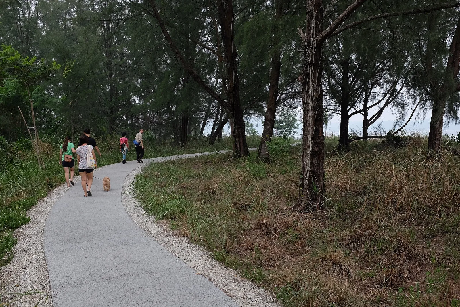
Short visit: enter at West and stay on the main trail. Add a signed spur if the terrain suits your group, then retrace your steps to Punggol Point. This is the simplest option if you are checking the surface with a stroller or need a predictable exit.
Through visit: follow the signed main trail to East and continue towards Lorong Halus. Check the mainland connector and the next transport stop as well as the distance on the island. The endpoint is a park gate, so an end-to-end trail measurement alone does not represent your full outing.
By bicycle: use the main route, pass walkers slowly and obey signs near narrower trails and boardwalks. If renting a bike, confirm rental hours and whether you must return to the same kiosk before committing to a one-way plan. NParks describes both ends as wheelchair-accessible and stroller-friendly. Check individual trail surfaces before assuming the entire route is suitable.
What to bring and when to turn back
The park closes at 7pm. Work backwards from your exit gate and leave a buffer. Bring water, sun protection and insect repellent. Use facilities before leaving the built-up end of the trip rather than treating the island as a promenade with shops or frequent shelter.
NParks prohibits camping and fishing, and encourages visitors to stay on designated paths and avoid disturbing or feeding wildlife. Treat the beach areas as nature stops. Consult NParks advisories before any visit that includes coastal water access.
Combine it with the Punggol waterfront
Use Punggol Point Park as the meeting point and short-visit fallback. If the island gates are closing before you can finish a walk, stay on the mainland promenade and make Coney Island a separate early start. For an outing based around more facilities and rental options, compare East Coast Park areas.
Take the coast as an optional detour
The NParks walking map separates the main trail, beach access and habitat areas. Follow signed paths to the coast and return to the main trail before continuing. For a family with a fixed return time, turn back after the first usable coast viewpoint, even if the remaining trail looks short. Those side trips count twice on an out-and-back walk.
Choose the island’s main path, a habitat side trip or the full route
For a first shorter visit, use the West entrance and stay on the main trail until you reach the coast detour you want to try. Give everyone the option to turn back once they have seen the woodland or one beach. NParks maps beach access separately from the continuation along the main trail. Some short-looking paths can take longer with a child or a person who needs firmer surfaces. If you have too little time to reach the East entrance comfortably, turn back over the terrain you already know.
For an outing planned around exploration, NParks’ self-guided walk suggests a 3.6 km route around park features. Treat this as an itinerary, with its side paths. Check the map for toilet, shelter and boardwalk symbols. Start with the section that is most interesting to you, then decide how much of the rest to include after you see the conditions.
The NParks feature guide divides the coast facing Pulau Ubin into five beach areas with different habitat themes. Wildlife and plants are a reason to walk slowly and use the signed paths. Beaches and intertidal areas are part of the habitat. Keep distance from the wildlife and follow the local signs when choosing how close to go to the water.
What to check for the East gate and Lorong Halus
Someone coming from Punggol Point and someone coming from Pasir Ris can approach the island from opposite directions. Use the full entrance name in the meeting plan. The Lorong Halus Park Connector page shows the connection towards Pasir Ris and Punggol and identifies Coney Island as a nearby link. An island exit leaves you at the end of a park leg, with a continuation to plan for in addition to your time on Coney itself. Set a pickup point beyond the gate only after you have verified access for the vehicle or transport you are using.
For a later visit, ask the group to be back at the chosen exit comfortably before 7pm. Pack water and enough time for a slow return. A family with two adults can do a short out-and-back while one optional longer loop stays on the mainland, provided both groups agree on the same meeting spot afterwards. If you rely on cycling, the park directory lists bicycle parking at both entrances. Plan around the official map and follow the rules for each track.
If you want a simple accessible outing, check the current map and ask about the exact firm-surface route. NParks’ habitat map distinguishes a barrier-free route from boardwalks, secondary tracks and beach access. The outing can stay around the approach and main route if beach sand or a narrow side path would make the return difficult.
If the island loop is too exposed on the day, start with a stop at Punggol Point Park and inspect the coastal approach before setting a firm walking distance. The Punggol Point Walk page helps you plan the mainland side as a standalone outing. If your party is short of time, agree to see the gate and shore from the mainland before you commit to the island route.
Sources
- NParks Coney Island ParkHours, gates, nearest MRT, parking, end accessibility and park rules.
- NParks Coney Island walking guidePark map and habitats.
- NParks Punggol Point ParkMainland alternative and park context.
- NParks self-guided Coney Island walksSuggested 3.6 km itinerary
- NParks themed beaches at Coney IslandFive distinct beach habitats
- NParks Lorong Halus Park ConnectorConnections at the East approach
- NParks habitat restoration mapPath surfaces and habitat context
- NParks Punggol Point WalkWest approach and alternative mainland walk